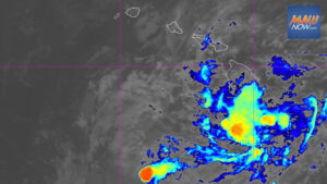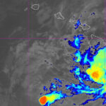

Update: 11 p.m. HST Sunday, Aug. 23, 2026 Tropical Depression Moke was centered about 380 miles southwest of Hilo at 11 p.m., moving west near 13 mph, according to the Central Pacific Hurricane Center. On its current track, Tropical Depression Moke will pass southwest of Hawaiʻi Island overnight and well south of the smaller main Hawaiian Islands on Monday.
Maximum sustained winds were near 35 mph with higher gusts. Forecasters expect the system to weaken, degenerate into a remnant low by late Monday, and dissipate on Tuesday. The estimated minimum central pressure was 1004 mb, or 29.65 inches. A NOAA buoy northeast of the center recently recorded sustained winds of 31 mph and a gust to 36 mph.
Tropical Depression Moke to bring gusty winds
Gusty winds are likely across the state through the next day or two, especially over higher terrain.
Heavy rain forecast from Tropical Depression Moke
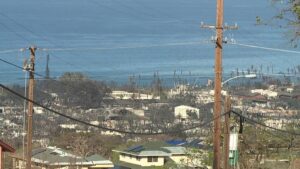
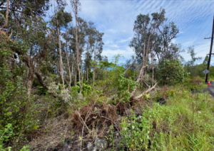
Additional rainfall of 3 to 6 inches is expected through Monday on the Big Island, with 3 to 6 inches also forecast for eastern Maui. These totals may trigger life-threatening flooding and mudslides on windward and southeast Hawaiʻi Island, especially in steep areas and over ground recently affected by Lala.
Western Maui and the rest of the islands could see up to 1 or 2 inches.
The next full advisory is expected around 5 a.m. HST.