
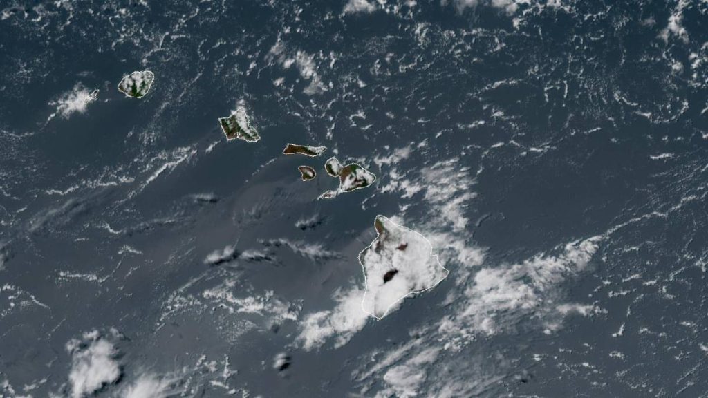
The Fourth of July weather forecast points to classic trade wind conditions for the Big Island, with passing showers favoring windward and mauka areas and mainly dry weather on the leeward side, according to the National Weather Service in Honolulu.
Forecasters say a strong high pressure system north of Hawaiʻi will remain in control through the coming days, keeping stable moderate to breezy trade winds in place. Bands of moisture riding the trades will boost showers over windward slopes, especially across Kauaʻi and Hawaiʻi Island.
Even with some clouds, fire weather concerns are increasing in the drier and windier zones around the island as afternoon relative humidity drops, potentially as early as Saturday. Officials note that moderate to locally near critical fire weather conditions could persist into early next week.
Fourth of July weather forecast by area
Hilo: Mostly cloudy through the holiday with light north-northeast winds around 6 to 8 mph. Showers hold off until mainly after midnight, with about a 30 percent chance.
Waimea: Mostly cloudy with isolated showers and strong northeast winds near 20 to 23 mph, gusts up to 32 mph. Rain chances are around 20 percent through the evening, increasing to 30 percent after midnight. New rainfall amounts less than one-tenth of an inch. Breezy overnight east-northeast winds continue at 18 to 20 mph, gusts up to 28 mph.
Pāhoa: Cloudy with a 20 percent chance of isolated showers during the day. Scattered showers increase to 40 percent tonight, with less than one-tenth of an inch of new rainfall possible.
Temperatures for windward communities will top out in the upper 70s. Overnight lows range from about 62 degrees in Waimea to 71 degrees in Hilo.
Kailua-Kona: Mostly cloudy this afternoon and evening. No rain expected until after midnight, when a 20 percent chance of isolated showers develops.
Waikōloa: Mostly sunny for the holiday, turning clear overnight. Breezy conditions dominate, with east-northeast winds 23 to 25 mph and gusts up to 36 mph. Overnight east winds 21 to 23 mph with gusts near 32 mph.
Nāʻālehu: Partly sunny through the day, then mostly cloudy overnight with no precipitation expected. East winds 18 to 22 mph with gusts up to 31 mph this afternoon. Overnight northeast winds 9 to 18 mph, gusts to 25 mph.
Leeward highs climb into the upper 80s around Kailua-Kona and Waikōloa, while Nāʻālehu tops out in the upper 70s. Overnight lows settle in the upper 60s to lower 70s along the west side.
Fire risk and trades continue into next week
With breezy conditions in places like Waimea, Waikōloa, and Nāʻālehu, residents should use extra caution with fireworks and practice fire safety for backyard celebrations. Wildfires cannot be ruled out in the drier, windier areas.
Forecasters expect moderate to locally near critical fire weather to continue into early next week as a slightly drier air mass drops afternoon relative humidity to around 45 percent, beginning Saturday. The high pressure north of the state will strengthen and drift slightly southeast by early week, keeping locally breezy trades in place, with the strongest winds likely Sunday or Monday.
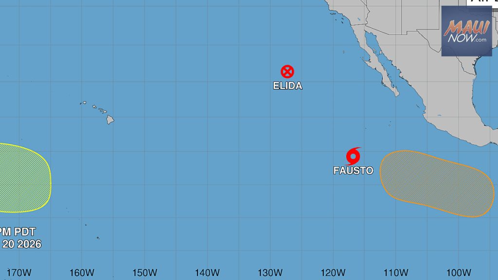
By late next week, lingering moisture tied to post-tropical cyclone Douglas could reach the islands on the trades. That may increase showers along windward and mauka areas first, with some of that moisture possibly spreading leeward toward the end of the period.
Bottom line for holiday plans: most fireworks and festivities around the Big Island should stay on track. Any windward showers will be brief and mainly a matter of timing.