
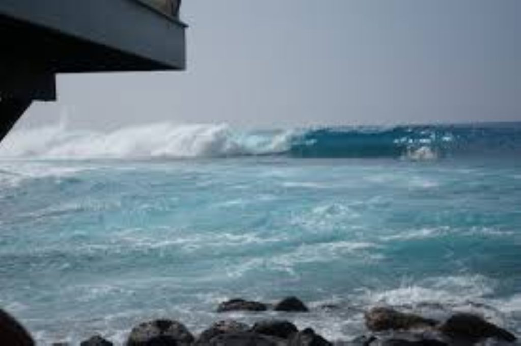
A high surf advisory is in effect for south-facing shores of South Kona, Kaʻū and Puna as a moderate, long-period south swell holds at advisory levels through Tuesday afternoon, according to the National Weather Service in Honolulu.
Forecasters expect surf of 7 to 10 feet along exposed south-facing beaches. The agency said the swell should begin easing by Tuesday night or Wednesday, allowing surf to fall below advisory thresholds.
Officials warn that strong shore break and hazardous rip currents can pose serious risks. Beachgoers, swimmers and surfers should follow guidance from ocean safety personnel and use caution if entering the water.
High surf advisory timing and impacts
The high surf advisory remains in place through Tuesday afternoon for the affected Big Island districts. Conditions are expected to gradually improve as the swell fades midweek, but dangerous currents may persist even as wave heights decline.
Residents and visitors should check the latest forecasts and heed any posted warnings before heading to the shoreline.
For broader context on how recent weather has evolved around the islands, see Flood Watch canceled as threat eases across Hawaii.