
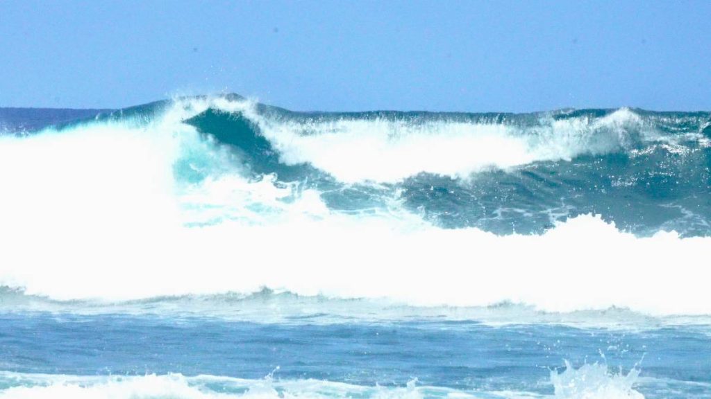
A high surf advisory is in effect for all south-facing shorelines statewide from 6 a.m. Tuesday, July 23, to 6 a.m. Wednesday, July 24, according to the National Weather Service. The high surf advisory covers every island’s south shores and will bring hazardous surf and currents.
Forecasters expect surf of 8 to 12 feet along south shores, producing strong breaking waves and dangerous rip currents. Officials warn that conditions will be hazardous for swimming, paddling, and other ocean activities.
High surf advisory details and timing
Meteorologists said forerunners from a moderate, long-period south swell began reaching the islands Monday afternoon. The swell is forecast to build through tonight into Thursday, pushing south shore surf to advisory levels sometime Thursday.
Surf could approach warning thresholds overnight Thursday into Friday. Long-period south swell energy is expected to keep wave heights elevated beyond Friday, which may require the advisory to be extended through the weekend.
Safety reminders for south shores
Beachgoers should heed all instructions from lifeguards and ocean safety officials. Stay off wet rocks and jetties, avoid swimming near harbor entrances, and consider alternative activities if unsure about conditions. When in doubt, do not go out.
The National Weather Service notes that surf heights are measured from trough to crest and that advisories and warnings are issued in coordination with emergency management and water safety partners in Hawaiʻi.